45°02’43.7”N 14°03’00.4”E
A story about a place
45°02’43.7”N 14°03’00.4”E are the coordinates of Raša, a small municipality in Croatia, near Labin.
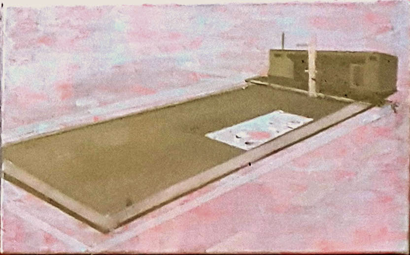
It is most known for its coal mine, which operated during the first half of the 20th century.
The town was constructed entirely artificially, at the initiative of Benito Mussolini, driven by his interest in securing a coal supply.
He ordered the draining of the sea and the creation of a workers’ settlement—a small town built upon the ideals of modernism.
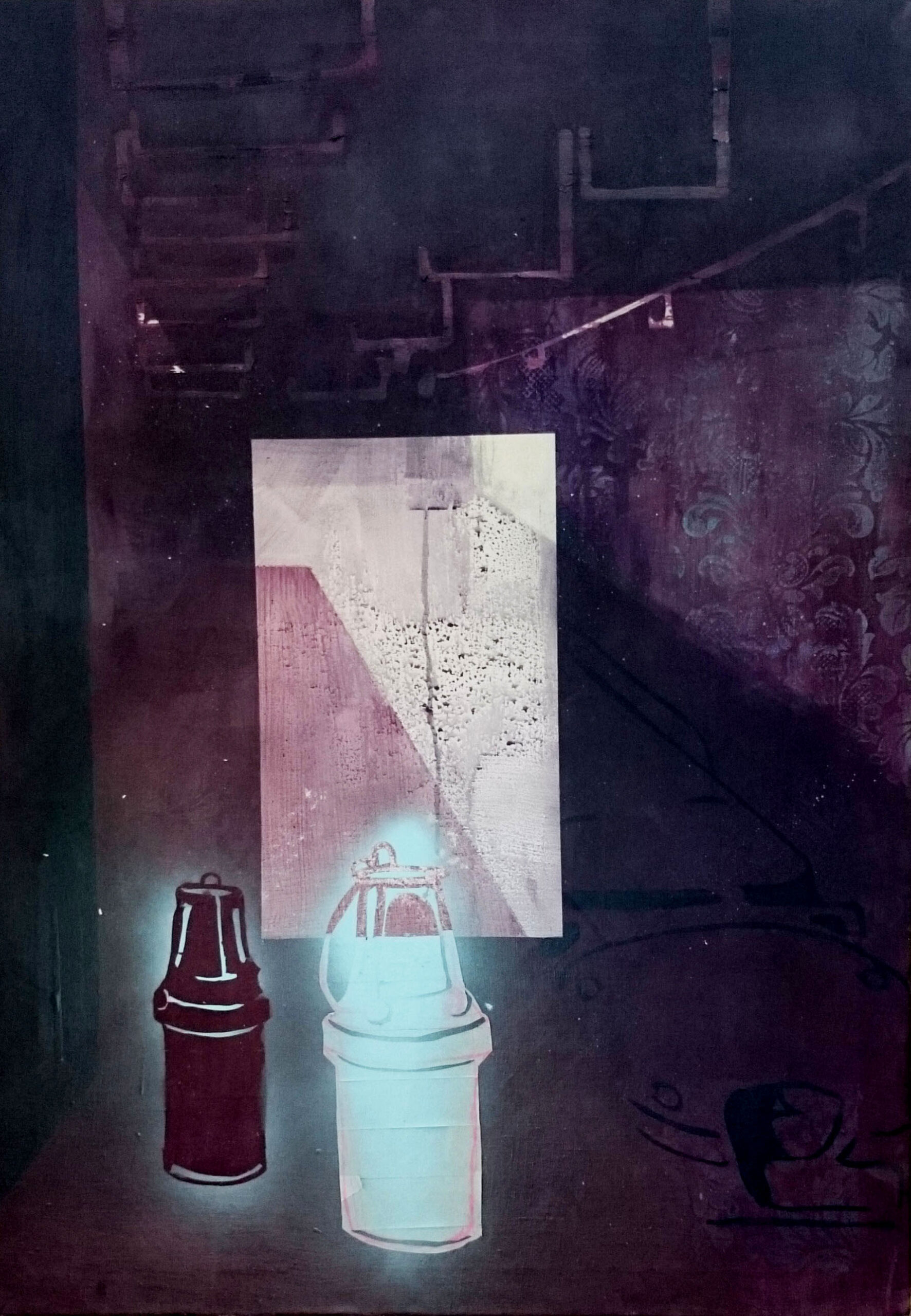
Since 1966, the coal mine has been closed, yet the complexes remain, slowly decaying into ruins.
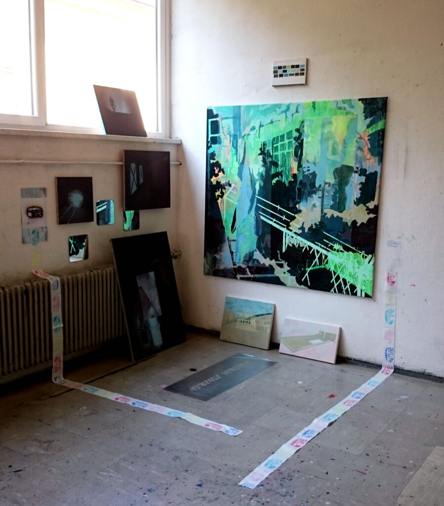
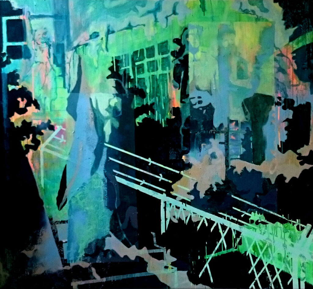
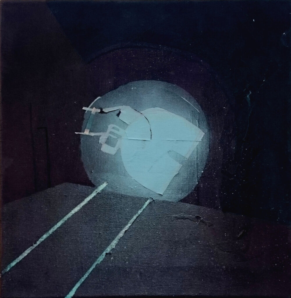
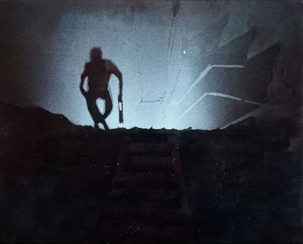
In Raša, I encountered a place with many layers—a place of grand ideas that failed, a place of utopia.
The installation investigates the coexistence of parallel spaces, those that together construct a place.
In other words, it examines the spaces that shape our reality.
It is an inquiry into the relationship between the real and the unreal.
The imagery derives from photographs taken at the site itself, as well as from an old socialist propaganda film about Raša.
Two divergent visions of the same place—each representing a different ideological framework—are now confronted within a new image, questioning the role of visual representation in the construction of a collective understanding of place.